How can physical geography lead to devolution?
There is a strong correlation between a country’s political and cultural climates and its physical terrain.
Devolution is the practice of giving local or regional governments more say in national and international affairs.
It is possible for devolution to occur as a result of a region’s physical environment influencing economic, social, and political growth.
However, it is natural to ask exactly how does physical geography affect devolution?
Physical geography can result in devolution by creating distinct regions with unique economic, cultural, and political differences.
What is Physical Geography?
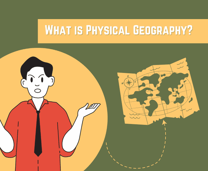
Physical geography is a form of earth science that focuses on the processes and relationships between the four spheres that make life on our planet possible.
These include:
- The lithosphere
- The atmosphere
- The hydrosphere
- The biosphere
Its study, therefore, covers the seasons and climate, as well as the Earth’s features on land and in the oceans.
It is a diverse area of study with many subdisciplines.
But, one shared aim is to understand the climate and why it is changing and assess the impact this will have on people and places based on scientific research and data.
Fact: Questions of sovereignty, representation, and democratic legitimacy can all become entangled in discussions of devolution, making the topic difficult and divisive.
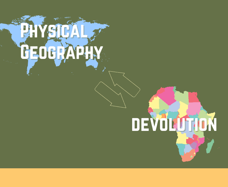
Relationship between Physical Geography and Devolution
Physical and political geography are often related as a country’s borders are defined by geographical features such as rivers or mountain ranges.
Some borders will remain in place indefinitely, whereas others may change suddenly particularly during times of conflict.
At the breakup of a large country or state, the transfer of power from a central government to several independent regional governments is known as devolution.
Central government returns funding via taxation rights and political and legal powers to local governments, resulting in political decisions being made closer to the people and communities they will affect.
Fact: In the United States, devolution can mean the delegation of federal authority to the states and municipalities.
How Can Physical Geography Lead to Devolution?
The physical geography of a region can have a marked effect on its ideas of devolution, separation and independence.
Such regions may already be mostly autonomous since tough terrain, desert, mountain or separation by water makes it harder to implement government policies countrywide excluding some citizens leaving them feeling disadvantaged.
So, here are some of the most important factors leading to devolution:
Mountain Ranges and Impact on Devolution
Mountain ranges have a huge role to play when you talk about physical geography leading to devolution, and the Kashmir region is a good example of it.
The region seeks devolution and has been a disputed area since the partitioning of India in 1947.
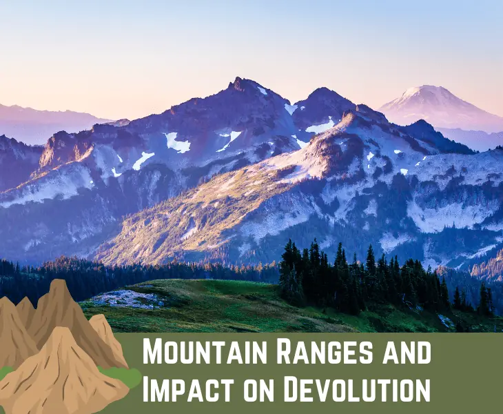
It lies between India and Pakistan and is isolated by the Himalayan and Pir Panjal mountains.
Historically, Kashmir was part of a political buffer zone between the British Indian Empire and the empires of Russia and China to the north.
Its northern and western regions are administered by Pakistan and India controls the southern and south-eastern areas, although China is interested in the eastern border.
Kashmir borders Tibet, an equally mountainous region that is an autonomous region firmly under China’s control.
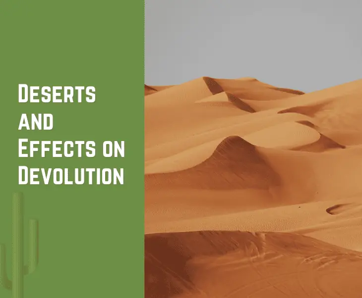
Deserts and Effects on Devolution
Like mountains, deserts can also isolate regions leaving them without modern development and political stability that can impact bordering regions.
Morocco has poured people and money into one of its regions, Western Sahara, a tract of desert rich in phosphate reserves and potentially oil.
Morocco, claiming the region, offered Western Sahara limited devolution and some autonomy.
Neighboring Algeria opposed the move and supported Western Sahara’s full independence and the Sahrawis, skeptical of Morocco’s motives, claimed their right to decide their future.
Campaigners in Western Sahara refuse to accept Moroccan sovereignty over their desert territory.
Oceans and Large Bodies of Water Affecting Devolution
Like the people of Western Sahara, Kashmir and Tibet, island people have their own cultural identity borne out of isolation.
But, sometimes controlling the island is strategically important to dominant military powers in a region.
Taiwan, a democracy, is under threat to bring it back under the control of China.
This island is part of a chain of US-friendly territories in the area.
In Hawaii, many islanders seek devolution from the US and a return to the days of the kingdom and their own government.
The movement began in the mid-1970s in response to its islands being used as US military outposts.
Communication and Transportation Affecting Devolution

Besides being about who controls territories and decides borders, devolution is also political and administrative.
It means it is also concerned with how a central government can transfer some aspect of its power to selected local or regional administrations, for example running the regions communication or transport systems.
An efficient communications and transport system is critical to regional economic development.
Devolution has been underway for well over a decade in the US and the UK, with the central government passing down powers to lower jurisdictions.
It has been done to improve coverage, supply and provision with local decision making effectively targeting funding.
Fact: Devolution has the potential to boost policy variety and innovation, as well as strengthen regional identities and political autonomy.
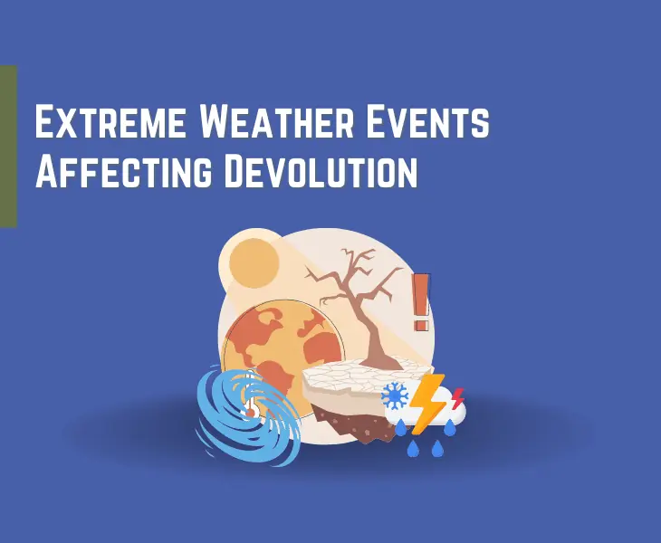
Extreme Weather Events Affecting Devolution
With climate change, torrential rains, high winds and floods look set to become part of the norm with serious consequences for food, fresh water and energy supplies.
Any economic and social planning must decide how to prevent, adapt and mitigate extreme weather risks.
Pakistan is more vulnerable than most.
But amongst its people, there is criticism of its centralized approach when each of the 160 districts is facing its own socio-economic and agro-ecological challenges against the uncertain backdrop of climate change.
It is argued that there ‘one size does not fit all’ and detached centers of power cannot deliver solutions.
Agriculture and Economy Affecting Devolution
Devolved administrations have devolved powers that mean they can make laws and deliver public services.
In the UK, after devolution, the independent administrations of Scotland, Wales and Northern Ireland could take on the responsibility of shaping new domestic agricultural policies better suited to meeting the needs of their farmers.
The three policies are different since devolution allowed for effective and tailored policymaking.
These could consider the geography and the local environment or the socio-economic development of the autonomous region before setting its priorities.
In this instance, devolution has encouraged innovation in policy making with reward schemes for farmers adopting sustainable practices.
Resource Competition and Conflicts Affecting Devolution
Violent conflict is often associated with natural resources, sometimes because of environmental damage or more often because local populations fail to enjoy any of its benefits.
Devolution has the potential to advance democracy, human rights and gender equality through civic education but public participation is essential for its success.
Kenya has managed devolution with minimal disruption and in a relatively short time beginning in 2010.
Kenya has begun to unlock its economic potential for the benefit of all its stakeholders in different ways.
For instance, the country has brought the decision-makers closer and addressed the population’s prime concerns of youth unemployment and access to services without discrimination.
An Example of Devolution Caused by Physical Geography
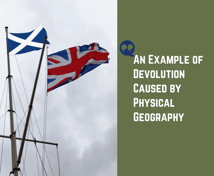
How does physical geography and territorial size lead to devolution? Well, you can consider the example of Scotland and the UK.
In the UK, powers have been transferred from the UK Government to Scotland, and it is one good example of how physical geography can lead to devolution.
Geographic Separation
In 1997 Scots had the opportunity to vote on political autonomy and have their own parliament.
Although part of mainland Great Britain, like the Welsh who also voted, Scotland has its own languages, history and culture.
With its high mountains and valleys, it is also geographically distinct, solidifying its identity as a different country.
North Sea Oil Reserves
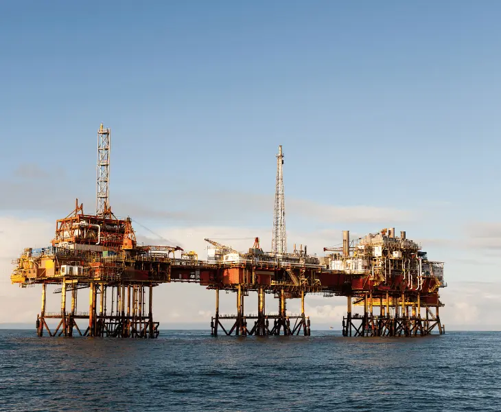
Oil was found off Scotland’s shores in the 1960s and finally came online in the early 70s boosting Scotland’s economy and its argument for independence.
‘Its Scotland’s Oil’ became a slogan of protest as Scots argued the case for Scotland and not the UK keeping the oil venue.
Historical Context and National Identity
The political campaign continued into the 90s with the argument that Scotland would never benefit while in the UK.
However, campaigners failed to note that Scotland, not being a sovereign state, had no claim to any of the UK’s maritime boundaries so it never was their oil legally.
Fact: Many people worry that devolution will lead to more regional inequality and friction between governments at various levels.
Takeaway
How can physical geography lead to devolution? It is true that a major factor in devolution may be physical geography.
There may be calls for more autonomy or even independence if a region has distinctive natural features, such as rivers, mountains, or coasts, leading to significant cultural, economic, and political differences.
Environmental conditions and the uneven distribution of available resources can also contribute to devolution pressures.