Why are cumulonimbus clouds dangerous? Also known as thunderstorm clouds, Cumulonimbus clouds are massive and potentially hazardous cloud formations.
The clouds are truly the towering giants of the sky. And when you see them, you know a thunderstorm is in the making.
However, many people wonder, “Why are cumulonimbus clouds dangerous for aviation and other industries, for that matter?” Let’s find out now!
These clouds are dangerous because they cause tornadoes, thunderstorms, heavy rains, and strong winds, affecting infrastructure and human lives.
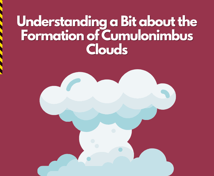
Understanding a Bit about the Formation of Cumulonimbus Clouds
Most people are aware that cumulonimbus clouds are dangerous, but they rarely know the extent of damage they can cause.
These clouds are usually more common in tropical regions. You will also see them often in moist environments, usually during the warm season. That is why they are a common occurrence in the middle latitudes.
Formation and Structure
Cumulonimbus clouds emerge from their fluffy counterparts, the cumulus clouds, which are often observed on bright and sunny days.
As the air becomes increasingly unstable and humid, cumulus clouds have the potential to grow taller, eventually evolving into cumulonimbus clouds.

The impressive height of these clouds is due to powerful updrafts that lift warm, humid air to higher, cooler levels. As a result, the water vapor condenses and creates majestic formations in the sky.
The formation of a fully developed cumulonimbus cloud is truly awe-inspiring, stretching from lower altitudes all the way up to the highest reaches of the troposphere.
Fact: The lower regions of cumulonimbus clouds possess a greater density, giving them a dark and ominous appearance, suggesting the possibility of powerful weather phenomena.
Why Are Cumulonimbus Clouds Dangerous?

Most people have seen cumulonimbus clouds in the sky, though they may not know their scientific name.
Those towering clouds with anvil-shaped peaks can look a bit intimidating, and that is not without reason.
They can actually prove quite dangerous because of what these clouds often lead to.
For instance:
They Can Result in Severe Thunderstorms
Cumulonimbus clouds, with their imposing stature, serve as the epicenters for intense thunderstorms.
In the depths, lightning gracefully dances, accompanied by the foreboding rumble of thunder.
A deluge of rain pours down, causing sudden floods that endanger lives and cause chaos to infrastructure.
Every bolt of lightning carries the potential to ignite fires, further increasing the hazards encountered by individuals in outdoor settings.
They can Lead to Hailstorms

In the core of cumulonimbus clouds, powerful updrafts create the perfect conditions for hailstones to take shape.
These icy pellets increase in size as they are repeatedly lifted and cooled, gathering momentum until they plummet to the ground below.
With an unstoppable fury, hailstones relentlessly pound the terrain, leaving behind a path of devastation.
From shattered glass to damaged crops and dented cars, the aftermath of hailstones is a vivid testament to the incredible force concealed within these formidable cloud formations.
Fact: hailstones are usually conical in shape but their diameter can be as big as 50mm, which can cause some serious damage.
They Create Strong Winds

With immense power, downbursts and microbursts unleash their fury as they descend from the towering cumulonimbus clouds.
These mighty downdrafts create fierce straight-line winds, causing chaos as they move across the land.
The mighty force of nature can do a lot, like:
- Bending trees
- Reducing structures to ruins
- Sending debris soaring through the sky
Downbursts and microbursts are incredibly powerful and destructive, leaving a trail of widespread devastation in their wake.
Fact: The big reasons why downbursts and microbursts are incredibly dangerous is their sudden and intense nature.
They Give Rise to Tornadoes

In the midst of intense thunderstorms, cumulonimbus clouds unleash a terrifying spectacle: tornadoes.
These fierce, swirling vortexes emerge from the ominous heavens to wreak havoc.
Tornadoes unleash their immense power and do a lot like:
- Tearing through the surroundings
- Toppling trees
- Leveling structures
- Leaving behind a trail of devastation
The incredible might of these tornadoes is a vivid reminder of the unpredictable and destructive force concealed within cumulonimbus clouds.
They Lead to Heavy Rain and Flooding

As the towering cumulonimbus clouds unleash their heavy rainfall, a torrent of water pours down upon the land, posing a threat of sudden flash floods.
Drainage systems are unable to handle the sudden influx of water, causing streets to turn into turbulent rivers.
As an unstoppable power, floodwaters engulf residences and commercial establishments, causing extensive harm to properties and endangering human lives.
The sheer force of these flash floods serves as a solemn reminder of the importance of being ready and taking prompt action when confronted with nature’s unwavering wrath.
Why Are Cumulonimbus Clouds Dangerous for Aviation?

Cumulonimbus clouds pose significant risks to aviation, making them a formidable opponent in the skies.
Pilots need to be cautious and avoid these massive structures because they create turbulence that can shake planes and make passengers uncomfortable.
The Role of Lightning
Cumulonimbus clouds unleash electrifying lightning, posing a serious danger to airborne planes.
Such severe weather conditions increase the chances of causing significant harm to the surfaces, engines, and windows of aircraft.
The Role of Wind Shear
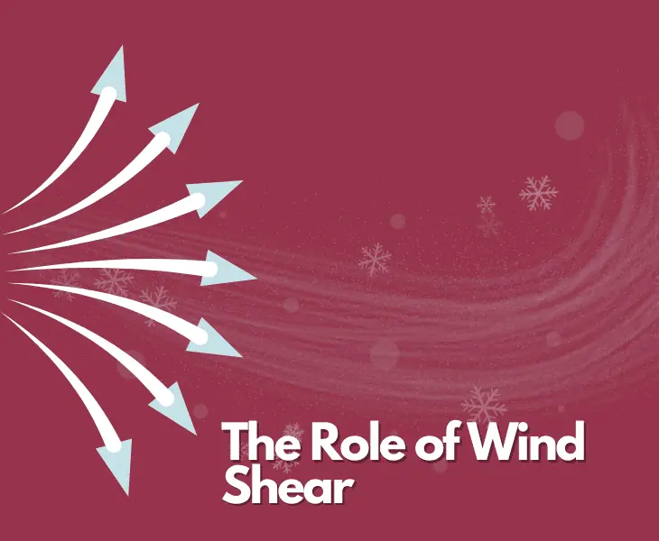
The possibility of intense wind shear, which involves abrupt and significant shifts in wind speed and direction, has the potential to result in a sudden loss of control.
In order to ensure smooth flights and the well-being of passengers, aviation authorities prioritize safety by implementing stringent regulations.
It is because of all these factors that pilots are required to navigate around hazardous clouds and seek out safer altitudes.
Other Effects to Consider

Moreover, cumulonimbus clouds can be dangerous for pilots because of many reasons, such as:
- Strong updrafts causing turbulence
- In-flight icing
- Electrical disturbances
- Severe downdrafts
Fact: The latest aircraft weather radar technology developments allow pilots to more effectively identify and steer clear of dangerous weather conditions.
Can Cumulonimbus Clouds be Dangerous for Other Industries?

It is true that cumulonimbus clouds can make it difficult for pilots and have a direct impact on the aviation industry.
But, these clouds can prove dangerous for other sectors as well.
For instance:
Agriculture
Cumulonimbus clouds bring an air of uncertainty to the world of agriculture.
Hailstorms, emerging from these clouds, unleash their wrath upon crops, causing devastation and imposing significant financial burdens on farmers.

The torrential downpour can turn fields into saturated wastelands, submerging crops and throwing off planting and harvesting plans.
Agriculture, relying on favorable weather conditions, constantly grapples with adjusting to these mighty clouds’ unpredictable nature.
Transportation
When powerful thunderstorms unleash their fury, roadways become perilous paths to traverse.
Torrential downpours transform asphalt into treacherous patches of slippery danger, putting both drivers and vehicles at risk.

The torrential downpour may result in sudden floods, submerging roadways and leading to closures, effectively halting transportation.
The flow of goods encounters major obstacles, which directly impact supply chains and economic operations.
Construction
With their mighty gusts, cumulonimbus clouds bring about considerable hazards to construction sites.
Employees are exposed to risks while dealing with strong winds, necessitating the implementation of rigorous safety measures.

Moreover, the torrential downpour can cause chaos for construction projects, resulting in:
- Serious setbacks
- Soil erosion
- Possible harm to building materials
Construction firms need to carefully strategize, taking into account weather predictions.
Only then can they take proactive steps to protect their workers and projects from the effects of these powerful cloud formations.
Insurance
Cumulonimbus clouds are the ominous bringers of hailstorms and tornadoes.
That is why they can cause a spike in insurance claims as they unleash devastation.
Insurance companies are dealing with increased financial responsibilities. They provide compensation to policyholders for the damages caused by hailstorms.
Fact: The growing occurrence of natural calamities highlight the need for insurance companies to evaluate and handle risks linked to cumulonimbus clouds.
Are There any Mitigation Strategies Used to Reduce Dangers of Cumulonimbus Clouds?

To minimize the effects of cumulonimbus clouds and the dangers they bring, different approaches are implemented in various sectors:
| Area of Application | Key Measures |
| Early warning systems | Advanced weather forecasting now plays a big role in detecting severe weather events and managing risks. |
| Infrastructure design and resilience | Industries focus on improving infrastructure design, like using proper drainage systems and wind-resistant buildings. |
| Emergency response plans | Emergency response plans are in place to handle the impact of severe weather events. |
| Smart grids and energy storage | They help maintain an uninterrupted power supply in severe weather conditions. |
| Crop insurance | These programs help farmers cope with their losses. |
Takeaway
Why are cumulonimbus clouds dangerous? These clouds look frightening and have the potential to cause serious damage.
They can be dangerous for property, human life, and economic activities through tornadoes, strong winds, hail, and thunderstorms.
Therefore, it is important to allocate resources to more accurate weather predictions and pay attention to enhancing infrastructure to deal with the serious impact of cumulonimbus clouds.